
1) Upload Spatial Inputs
Upload land-use data in GeoJSON, zipped Shapefile, KML/KMZ, GPX, DWG, DXF, or DGN format to initialize the simulation.
Planex is built to help teams design, analyze, and simulate urban environments. Its core component, Urban Simulator, lets you run scenario-based simulations using spatial and table-based inputs. The platform also includes Built-up Change Analyser, which uses multi-epoch GHSL data to reveal long-term changes in built-up surfaces.
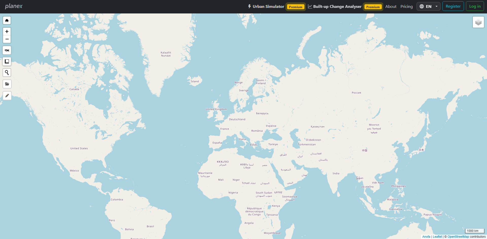
Urban Simulator is the center of Planex. It supports a clear workflow for setting up inputs and running simulations for urban planning scenarios.
Upload land-use data in GeoJSON, zipped Shapefile, KML/KMZ, GPX, DWG, DXF, or DGN format to initialize the simulation.
Upload a road network, retrieve OpenStreetMap roads, or generate a predefined network pattern directly in the simulator.
Complete the parameter tables, run the scenario, review spatial and socio-demographic results, and export the generated outputs.
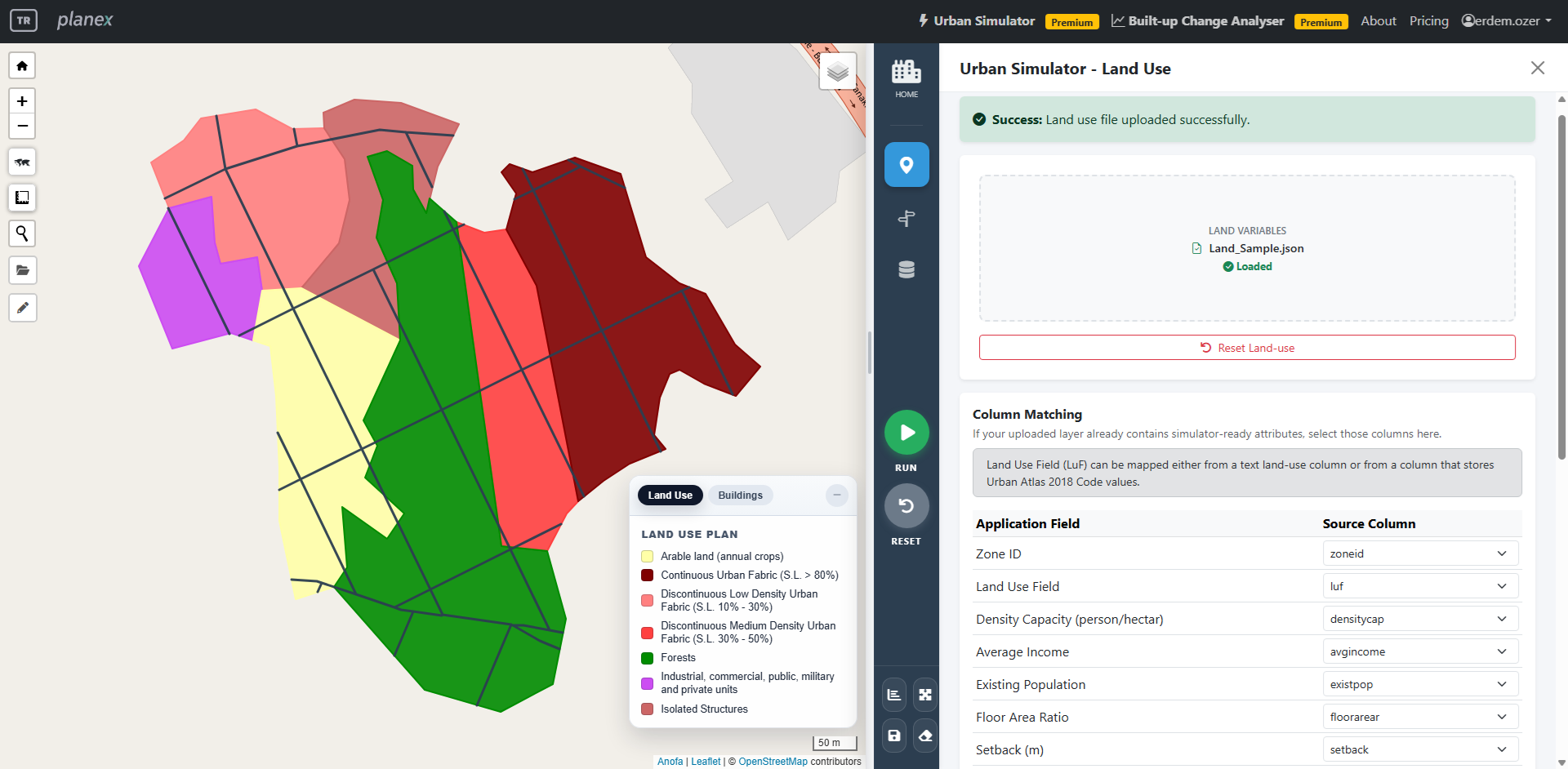
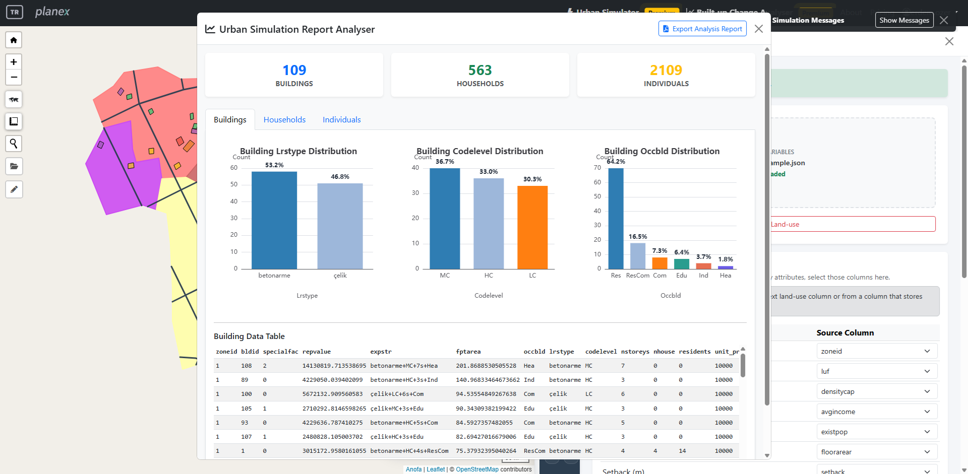
In Planex, Urban Simulator is not only a map-based drawing tool. It is a synthetic urban system generator where geometry and tabular socio-demographic outputs are produced consistently from logic/distribution tables.
Built-up Change Analyser examines long-term changes in built-up surface intensity using ready-to-analyse GHSL layers—without requiring users to prepare or upload raster imagery.
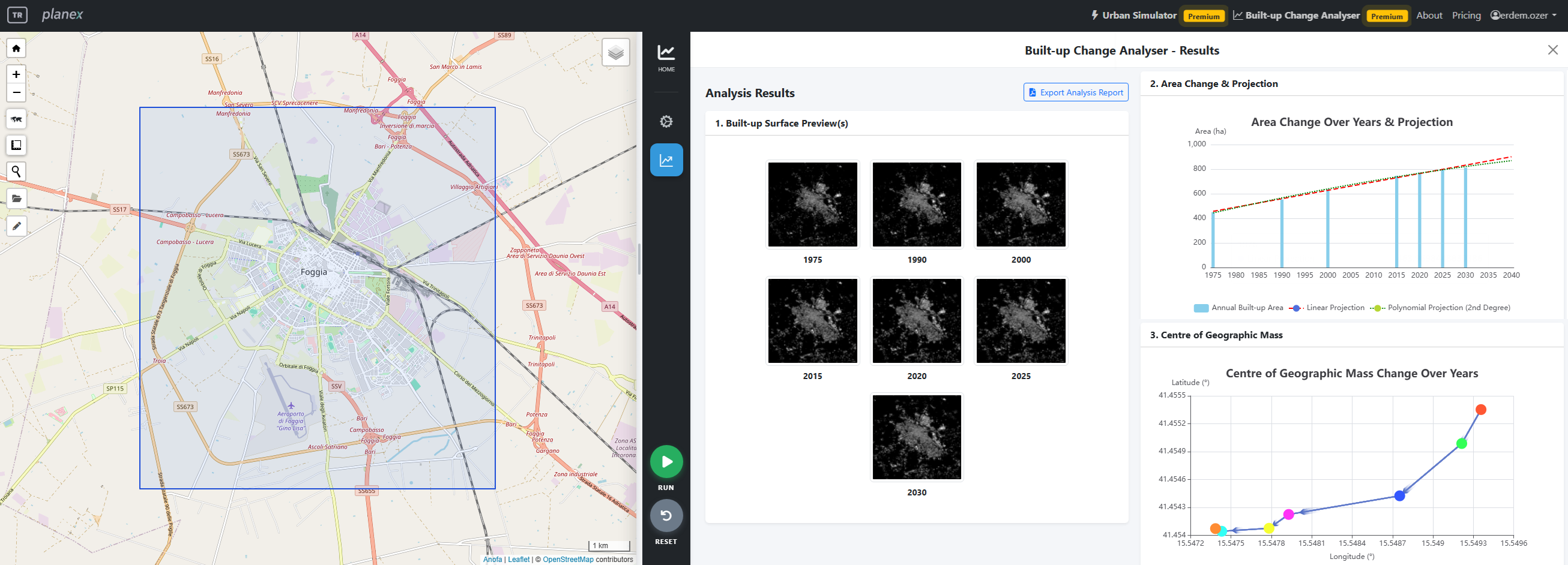
Built-up Change Analyser uses the European Commission Joint Research Centre's GHSL GHS-BUILT-S R2023A product to compare built-up surfaces across multiple epochs.
See Urban Simulator in action and explore the renewed GHSL-based built-up change workflow.
Move from scenario-based urban simulation to long-term GHSL built-up change insights within one planning platform.
Launch Planex